• -5%

Le Vie del Sale (4)

9788899606480_2018

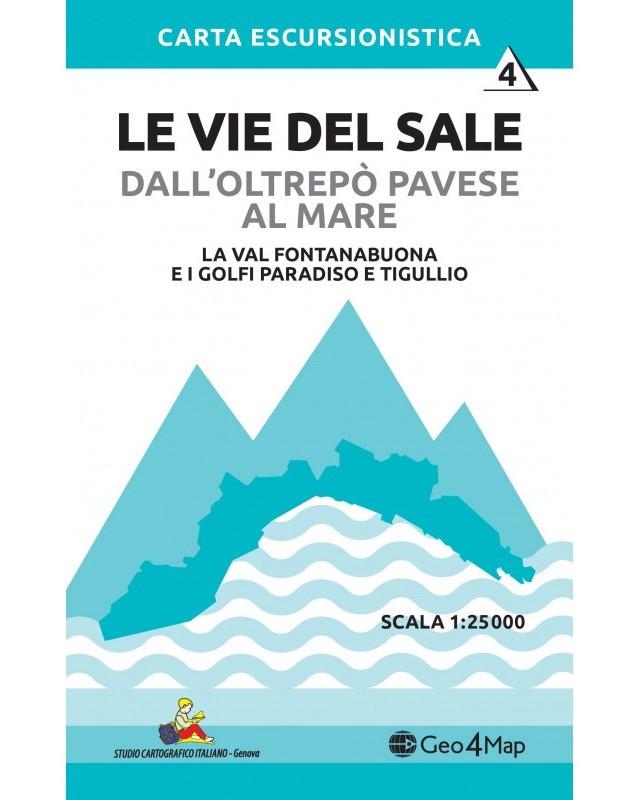
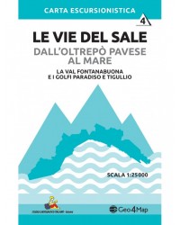
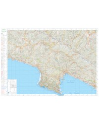
The Salt Roads Hiking map - From the Oltrepò Pavese to the sea:
Val Fontanabuona and the Paradiso and Tigullio gulfs.

€8.00
€7.60 Save 5%
Tax included

100% secure payments
 

Shipments

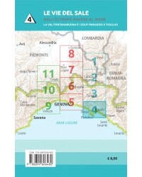
The Geo4Map hiking map is made at 1:25,000 scale with the WGS84 UTM zone 32N reference system, with a broad representation of the territory in color and with an easy-to-fold accordion fold.

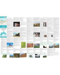
Cartographic contents:

  • Hiking trails marked by the Club Alpino Italiano (CAI) and the Federazione Italiana Escursionismo (FIE);
  • Closely visible coordinates for use in conjunction with GPS;
  • Contour lines at 25 metres;
  • Three-dimensional model of the terrain;
  • Topographic information such as rivers, mountains, villages, roads enriched by other elements such as historical, architectural, cultural and environmental emergencies, numerous services and sporting activities.

On the back:

  • Historical notes and useful information;
  • List and description of itineraries with starting point, arrival, stages, differences in altitude and travel times.

Available in digital format on:

9788899606480_2018

Data sheet

Height
70 cm (formato chiuso 17,5 cm)
Width
100 cm (formato chiuso 11,2 cm)
Material
Paper
Packaging
busta cristal
Scale
1:25 000
Language
Italian
ISBN
9788899606480
Edition
2019

Specific References

You might also like