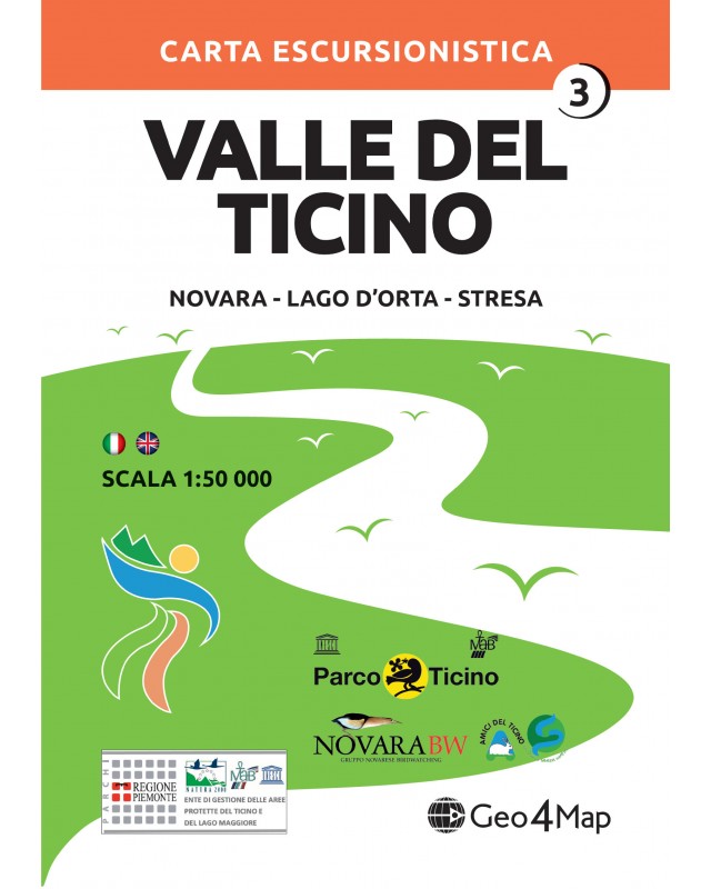

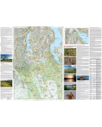
Hiking and cycle-tourism map of the Ticino Valley:
Novara, Lago d'Orta, Stresa.
Created in collaboration with the Ticino Park authority on the occasion of the inclusion of the park in the MAB-Unesco area.

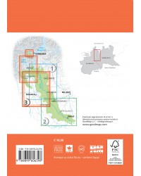
Shipments
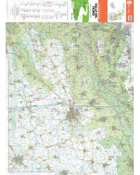
The Geo4Map hiking map is made at 1:50,000 scale with the WGS84 UTM zone 32N reference system, with a wide representation of the territory in color and with an easy-to-fold accordion fold.
Cartographic contents:
On the back:
The geo-referenced cartographic bases are supplied to the National Alpine and Speleological Rescue Corps to allow better communication between rescuers and hikers in difficulty.
Available in digital format on:
![]()

Hiking and cycle-tourism map of the Ticino Valley:
Novara, Lago d'Orta, Stresa.
Created in collaboration with the Ticino Park authority on the occasion of the inclusion of the park in the MAB-Unesco area.